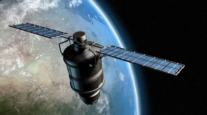
Remote Sensing Services
- Change Detection
- Mining & Geology Mapping
- Project Monitoring
- Environmental Assessment
- Land Cover Classification
- Planning
- Watershed Management
- Satelite Imagery Interpretation and Classification
Mineral Exploration
- Full Hyperspectral remote sensing combines two sensing modalities: imaging multi-spectral (VIS & NIR: 0.4 to 1.2um) and spectroscopy (SWIR: 1,2 to 3um).
- An imaging system captures a picture of a remote emitted electromagnetic radiation integrated over some spectral band.
- On the other hand, spectroscopy measures the variation in power with the wavelength or frequency of light,
capturing information related to the chemical composition (by way of unique absorption features) of the materials measured.
- The instrumentation used to capture such spectral information is called a hyperspectral sensor.
- The visible and near infrared (VNIR) and shortwave infrared (SWIR) spectral region play an important role in the identification and study of minerals and analysis of their components.
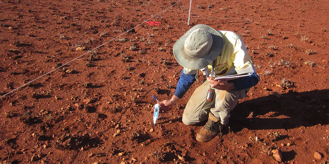
Soil moisture
- Soil moisture plays an important role in taking many decisions in water management.
- Soil reflectance was generally lower in the visible range and higher in the near infrared with specific absorbance bands around 1400, 2200 and 2400 nm.
- Use cases: Irrigation Management, Erosion Prediction, Wetland Monitoring, Crop Health Monitoring, Drought Monitoring,Watershed Management.
Soil salinity
- Soil salinization is a major problem to agricultural development, especially in arid and semiarid areas.
- It causes deterioration of the ecological environment, decline in crop yield, and threat to the ecological environment and the biosphere.
- High saline and alkali can cause dehydration and even death of vegetation crops.
Vegetation health monitoring
- Hyperspectral data are spectrally overdetermined, which means that they provide spectral information to identify and distinguish spectrally unique materials.
- Also this data has the potential for more accurate information extraction than possible from multispectral data.
- The hyperspectral plant health monitoring system is intended to be used for early detection of abiotic stresses (e.g., drought, overwatering, and nutrient deficiencies) and plant diseases (e.g., bacterial, fungal, and viral) for crops grown under controlled environments.
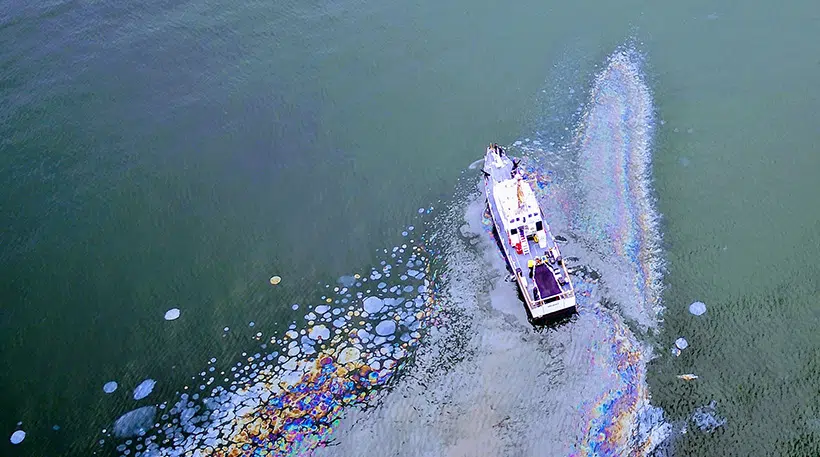
Oil spill detection
- Oil spills become visible on radar images as dark areas relative to the surrounding area because they reduce the NRCS (Normalized Radar Cross Section).
- The radar backscattering from clean sea surfaces as well as from surfaces covered with mineral oil.
- It is the only sensor that can be used for searches of large areasand it is one of the few sensors that can detect anomalies at night and through thin clouds or fog.
Rock sliding
- The use of thermal data from satellite sensors to identify potential rock sliding or slope instability areas.
- Thermal analysis can provide valuable information about the surface temperature of the Earth’s features, which can be used to detect subsurface anomalies and potential hazards such as rock slides.
- High temperatures lead to thermal fracture in the rock, which can greatly impair the rock’s mechanical properties. These anomalies appear as hyperbolic reflections on the GPR profile.
- The shape, depth, and strength of the reflections help technicians differentiate between different types of pipes (metal, plastic, concrete) and determine their shallow depth (1-30m subject to moisture content and clay) below the ground surface.
Animal health monitoring
- Infrared thermography is a non-invasive tool that uses the radiation emitted from the skin of animals to assess their thermal state.
- Thermal imaging (high resolution) uses infrared light to make objects that are warmer than their surroundings easier to see, so it can be used to detect any warm-blooded animal without disturbing them or altering their behavior.
- It creates a graphic representation of infrared radiation emanating from an object.
- In addition to identifying location, temperature changes on the surface of an animal’s body can indicate illness, injury, or physiological stress triggered by fight or flight responses.
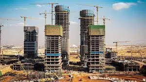
Heat producing monitoring from the construction and building in the cities
- Assessing the thermal environment of buildings and outdoor structures is essential to provide sustainable solutions to overcome these challenges by incorporating advanced building materials and innovative structural designs.
- However, numerical estimation is restricted in showcasing and predicting accurate temperature variations over time (multi-date imagery – change detection) due to abrupt changes in weather conditions, occupancy rate, diversity in building materials, and variation in buildings orientation structures.